Sunday, May 15, 2011

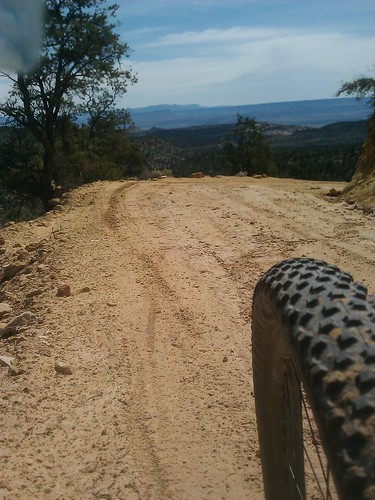
Utah Hill Circumnavigation

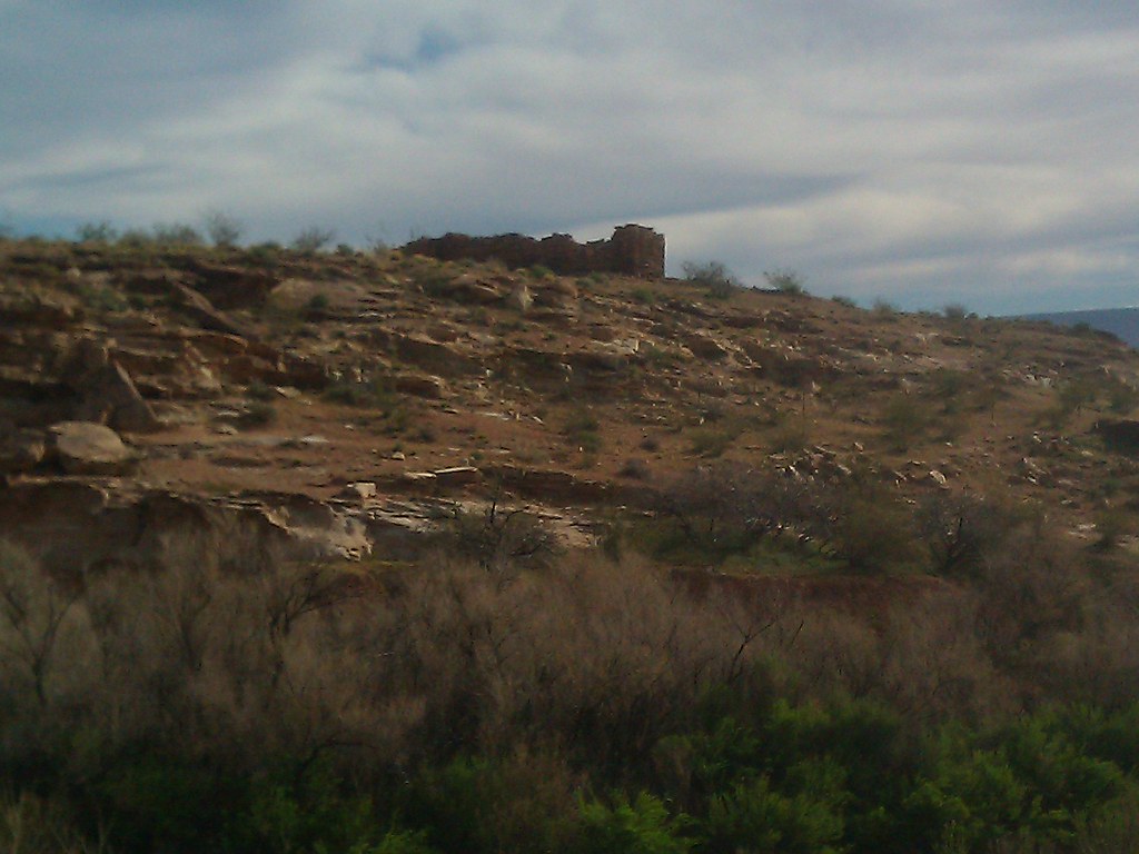
Utah Hill is the mountain just west of St. George. I-15 wends it's way to the south through the Virgin River Gorge on it's way to Las Vegas and the Old Hiway 91 bends around the north. On the Western slope the Woodbury Wilderness Study Area was created by the BLM and Angus M Woodbury in 1977 because it contained the oldest population of marked desert tortoises and possibly the oldest marked populations of vertebrates in the United States. 


The infamous JRuss of Sabrosa Cycles fame and I have been kicking around the idea of circumnavigating the Mt in a clockwise direction for 6 or 7 months.  We finally settled on a date and made the customary invitations to all of our riding acquaintances to join us on our foray.  At the appointed hour we found ourselves completely alone, no one else was there to share in the adventure.


The initial climb was interrupted by the crack addled whisperings of a lady who had caught a flat on her 1994 Toyota Fourunner, she had no jack and had spent the night pounding In and Out fries, smoking meth and waiting for help to arrive. In her mind altered state I am not sure that she knew where she was or could direct rescuers to her position.  JR, ever the boyscout offered to help but without a jack you can't change a tire. She was gone by the time we got back.

Reflecting on the ride I would recommend that unless you have a masochistic need to pedal your bike uphill, there are alternative routes to seeing what is on the backside of the beyond.

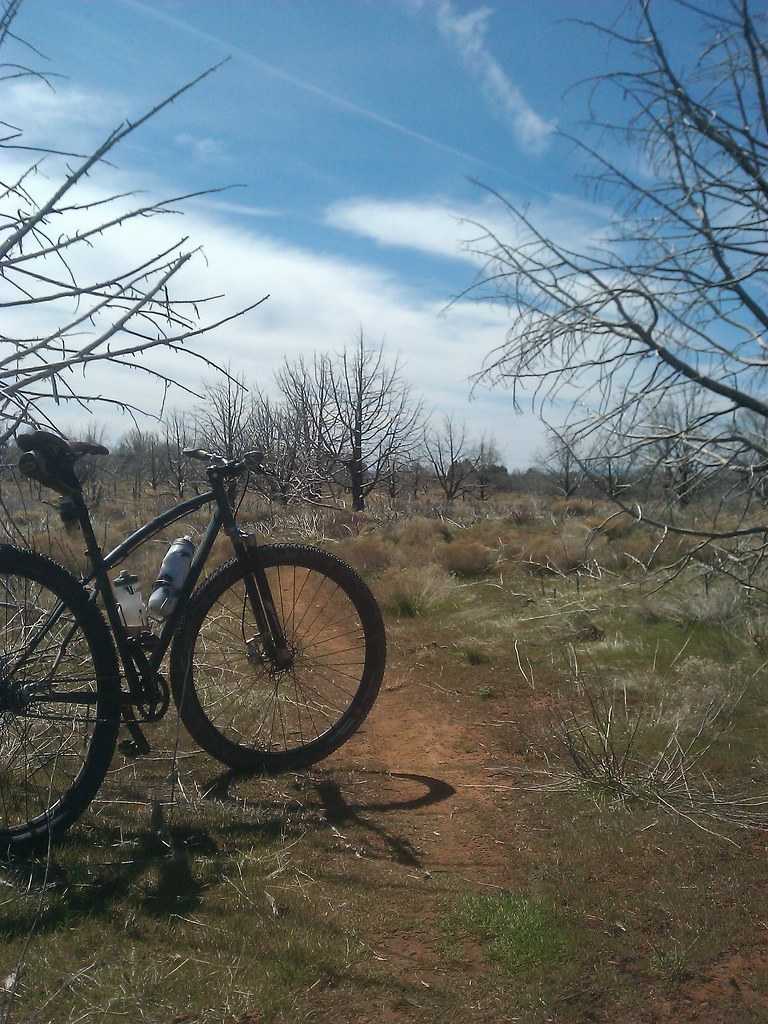
The Joshua Tree Forest.


Another 360 picture of the terrain. Fullscreen mode is the way to see this.


Cedar Pocket road (Joshua trees) in Arizona


A day earlier I had cached some water where the dirt road meets hiway 91.  The weather was perfect, a little overcast with a couple of sprinkles to keep the temps manageable.


After the water stop JR developed some intestinal difficulties. That has happened to him on back to back rides with me.  I think he may be allergic to my mediocrity, even in a nauseous state he can still put the hurt on you.

JR resting after taking solace in the relative privacy of the wash.


The trucks, parked at Navajo Dr. were a welcome site. Just because I could have gone further does not mean that I wanted to.

Tuesday, May 3, 2011

A Day on the White Rim

Last year a friend of mine attempted the infamous RAWROD. Do not google that! It stands for Ride Around White Rim One Day. I don't want to call his attempt a failure because he is a loyal reader and a dear friend but my lexicon is not large enough to come up with another word. Sorry D.
He then asked me if I would join him for a 2011 attempt and I agreed with a hearty "I'll do it if you do it." Indubitably that phrase has lead to much pain and anguish since the invention of the English language.  

Our merry band was supposed to be 7-8 members strong with a support staff of one. Big ups to CJ for his willingness to do the SAG duties. 
Without going into too much detail, weather, scheduling conflicts and plain old softness reduced our numbers to just 2 participants. Can you be a merry band with only 2 people?

CJ's 14 year old son came along and did ride the first 6 miles with us before he piled it up and broke 3 spokes of the rear tire and received numerous scrapes and bruises. You will see that later on in the program.


The White Rim is an 84 mile jeep road built by the Uranium industry around what is now the "Island in the Sky" National Park. So named for the exposed white sandstone exposed over the eons.  We rode in a clockwise manner from Shafer to Mineral Bottom.


There are no pictures or narrative that can aptly describe the vastness and grandeur of the WR. 

I did bring my helmet cam to try and record the events, I am becoming more and more disgruntled with the whole set up and you may see the camera on Ebay before too long. The software is iffy and as I have said before, a fully rigid bike makes a lousy platform for video that doesn't make you nauseous.
I had to slow down the clips to 75-80% of regular speed to make them watchable. I hope you like Cat Stevens.


 So BK and I hammered it out riding side by side like Ponch and Jon cruising the So. Cal highways of the early 80's.  I got to be Ponch because I habla the Espanol.
Leaving out the Murphy's Hogback and Hardscrabble climbs it's an easy ride, with grand and ever changing vistas around every corner.
After 78 miles the sand and wind had taken it's toll on me and I opted out of climbing out of Mineral Bottom, that piece of road is quite the feat of engineering and determination. I could also hear the fajitas calling me from La Hacienda back in Moab,

During the ride I had decided that I would never need to ride it ever again, now 3 days later and I wish I was back there now. Weird how that works.

Friday, April 15, 2011

The Naming Cave

I was bumping around the modern miracle that is Google Earth and I came across two 360 degree photos by Don Manion entitled "Naming Cave." This could be the coolest technology I have seen in a while.  He had located them in the middle of Gunlock Reservoir, I can only assume that he did that to keep the location somewhat secret. I guess he didn't figure the human gps would have a go at sleuthing it out.
There was enough information provided in this first photo to triangulate what I thought to be the location.


Utah's Southwest Desert in Utah


My first attempt was foiled by a tire malfunction so I tried again this morning and 12 miles from pavement, a hike-a-bike section and some deep sand I rode my trusty steed straight to the cave.  Accessing the cave is not terribly difficult but Sidi never had hiking sandstone in mind when they made my bike shoes so I ascended the climb in my woolie socks.
Over the millenia a giant slab of sandstone sheared off from the ceiling and the Indians used it as their sketch pad. There is also a fire area in one corner where the smoke escapes vertically thru a crack in the rock.


Naming Cave in Utah

From the cave mouth, see the bike in the center.


Close ups. The cave has kept these images in great condition.


The cave from just outside


I have no idea why Don called it The Naming Cave, I can find no reference to it any other place.

Guided tours by appointment.

Saturday, April 2, 2011

Little Black Mt

I saw some really good stuff today, go get a drink and come back because this post is long.

I got up early and headed out for some longish dirt miles. Being me I was looking for something new and I needed to link up the cross over from Bloomington to Washington for the St. George Centurion route I have been efforting. 

The Desert is a bloom 


I started on the East side Little Black Mt and searched out the best way around to River Road. As you can see most of the day was spent in Arizona.
Try it, it's interactive.
Upon returning to the truck I determined that I was not finished so I headed out up the Fort Pierce Ridge Trail to Warner Valley. They call it a trail but it's mostly for Texas wheelchairs (4 wheelers,) it's good to see that they are making things accessible for fat and lazy Americans. Now I am not saying that I could not afford to mix in a salad or two but pushing your thumb for faster and squeezing your hand to stop takes no talent whatsoever.

In the southern part of the valley are the ruins of old Fort Pearce. The fort was a fortified shelter at a water source along the historic Temple and Honeymoon wagon trails used in the late 1800s. Close to the fort, you can find Puebloan and Anasazi petroglyphs, and at least one outstanding pictograph. Some of this art could be several thousands of years old.

Fort Pierce was positioned to protect and defend the water source from Indians. Seems kind of mean to me to keep people from water.


An up close of the Fort from an earlier trip with my kids. The Fort never had a roof.


I ripped this photo from another blogger; Newlyweds traveling to and from the outlying settlements to be married in the St. George Temple wrote their names with axle grease. Hence the name " the Honeymoon Trail."


I also remembered reading that there was a great pictograph in the area. So armed with only my unerring internal GPS and a yard sale of semi useless facts in my head I set out to find it.

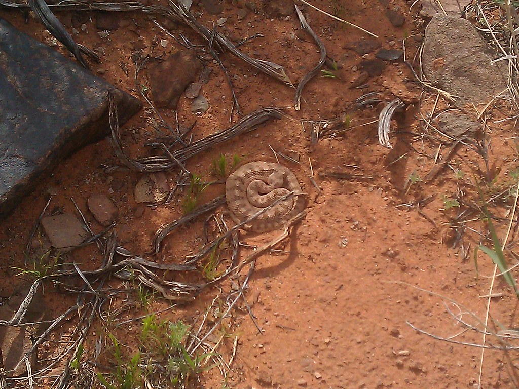
Ran across this little guy, it was a little too cold for him to be upset.


Traversed the precious water source.


Climbed this steep incline in cycling shoes unfit for the job. I left my bike by the one lighter green tree you see on the right hand side, thinking to myself  "now everybody remember where we parked."


And ran straight into this; the Redman.
He is about 5 ft tall and hidden under an overhang that has protected the red ochre color for who knows how many years.


One of the most superlative mornings I have had on a bike in quite a while.

Wednesday, March 30, 2011

Silver Reef to Ice House

I was looking for something new with some good mileage so I had an amigo drop me off in Silver Reef. During the 1870's it was known as the murder capitol of Utah and had it's own China Town. There is still an original Wells Fargo building open for the tourists.
The first 2.5 miles is a steady and at times taxing climb with about 1000' of vertical gain, the higher you get, the better the view gets. 


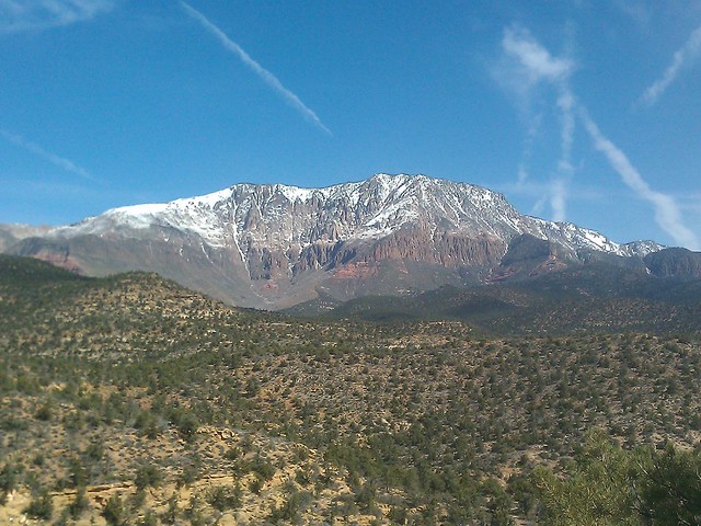
After a 2 mile descent the road flattens out but maintains a general uphill tilt for eight more miles. The snow capped peak of Pine Valley Mt is always on your right hand side. Have I told you that it is the worlds largest lacolith? 


The summit is at 5341' and the last pitch to the top is  S T E E E P. Or maybe it just felt that way because I have not started  blood doping for this season.
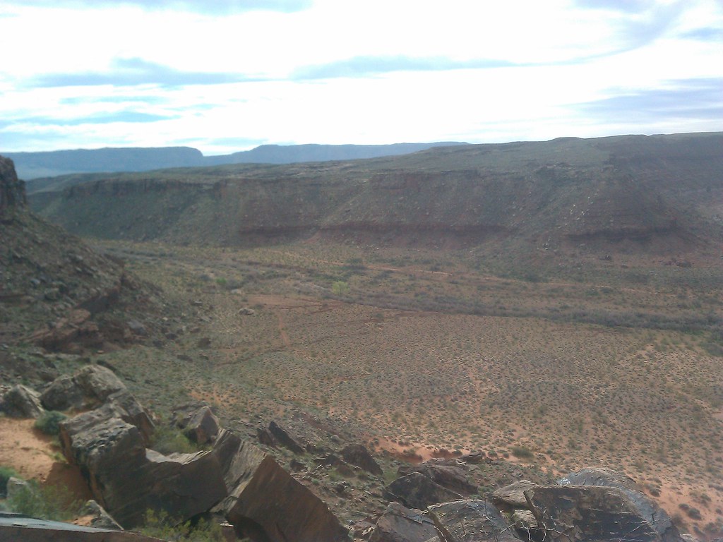
That is Zion National Park in the far distance.


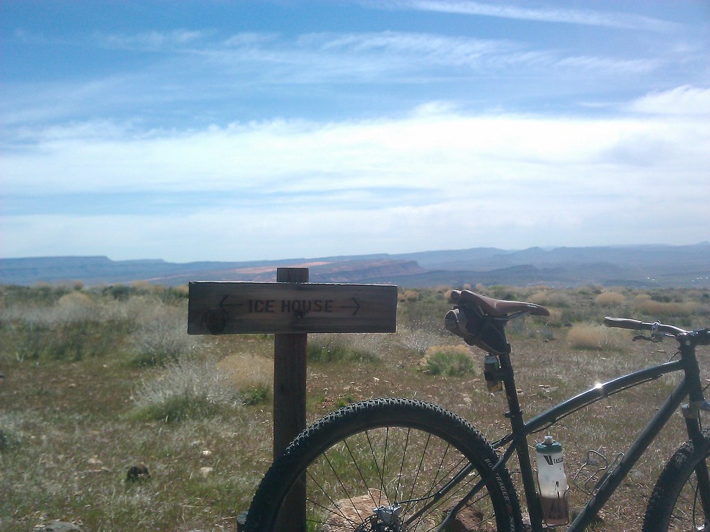
The second part of my plan was to locate the top of the Ice House Trail. My penchant for never getting lost really came in handy, luckily someone else had ridden it earlier that day or I doubt I would have found it.
The trail has seen very little traffic over the years but is getting a new revival as of late so I wanted to see what the fuss was about.


The early settlers of the St. George area used to take wagons up the trail all the way to Pine Valley. Fill the tarred in wagons with water and wait til they froze solid, and then bring them back down so they could have ice for most of the summer.
This trail is still very rough and my hands were aching pretty good by the time I made it down the last pitch into the Green Spring area. The last mile or so is pretty crazy, I have ridden it before on a long travel bike and it was much easier. 
A fully rigid SS should not be your weapon of choice unless that's all you have.


Totals;  saddle time 2:20 -- 24 miles. I was convinced it was going to be more like 30+ so I was a little put out. There was an abundance of interesting things to see and off shoots of the road to explore. I would definitely ride it again.


Sunday, March 27, 2011

Karma

You may remember this post from about a month ago, well race day came and went yesterday and Karma seems to have reared it's ugly head. You see, rain + dirt = mud and from what I understand there was plenty of the thick and sticky variety to be found.

I ran into a friend from High School who was down for the race, he said that he and his buddies hiked for miles carrying thier bike because the wheels would no longer spin due to the mud.
Out of 170 entrants they had a total of 12 finishers, thats a total of 158 DNF's !  158 people who laid down between $80-$125 to go hiking in the mud.....that's a shame.

I will admit there is no schadenfreude in my soul, (for those of you who went to community college you can google that and use it as your "word of the day.") I actually feel sorry for Cimmeron who really went to a lot of effort to put on a big event, not to mention that her livelihood depends on having successful races. I said it before  that I do like her and plan on participating in her Frog Hollow 25 race hr in the fall.

Remember that you can ride the 440 for free this year, I will be including more categories this year. Women's and a 40+ category just for me. And if it rains we can all go home and live to fight another day.

Friday, March 4, 2011

10 for style

This is the best thing I have seen in a long time, American downhillers are a bunch of weak sisters compared to the way they do it south of the border.

There is so much going on in this vid that you may have to watch it twice.
Things to look for in this video;
Dude is wearing a pinstripe suit
Cobblestone streets
Dirt streets
Terrible Mexi-brakes that squelch badly
Neon Green houses
Waldo
Dogs wandering the course
BIG gaps with HUGE consequences
Going mach 9 down stairs with a railing on one side
Wall ride on someones house
Graffiti
Grinding noises whenever he pedals
Bright yellow houses
Whistles
Transition step-down off somebody's front porch
Dude laughing halfway down because he is having so much fun