I saw some really good stuff today, go get a drink and come back because this post is long.
I got up early and headed out for some longish dirt miles. Being me I was looking for something new and I needed to link up the cross over from Bloomington to Washington for the St. George Centurion route I have been efforting.
The Desert is a bloom
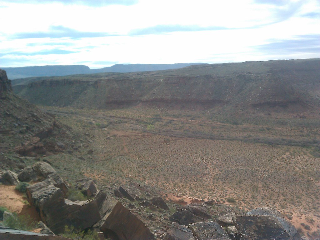
I started on the East side Little Black Mt and searched out the best way around to River Road. As you can see most of the day was spent in Arizona.
Try it, it's interactive.
Upon returning to the truck I determined that I was not finished so I headed out up the Fort Pierce Ridge Trail to Warner Valley. They call it a trail but it's mostly for Texas wheelchairs (4 wheelers,) it's good to see that they are making things accessible for fat and lazy Americans. Now I am not saying that I could not afford to mix in a salad or two but pushing your thumb for faster and squeezing your hand to stop takes no talent whatsoever.
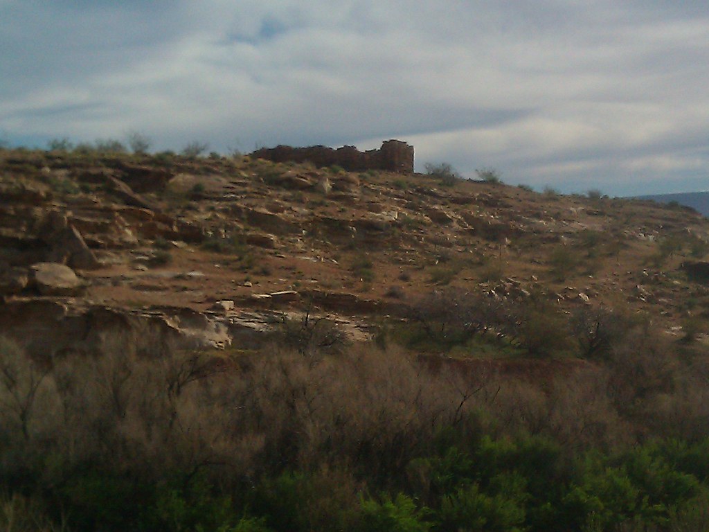
In the southern part of the valley are the ruins of old Fort Pearce. The fort was a fortified shelter at a water source along the historic Temple and Honeymoon wagon trails used in the late 1800s. Close to the fort, you can find Puebloan and Anasazi petroglyphs, and at least one outstanding pictograph. Some of this art could be several thousands of years old.
Fort Pierce was positioned to protect and defend the water source from Indians. Seems kind of mean to me to keep people from water.
An up close of the Fort from an earlier trip with my kids. The Fort never had a roof.
I ripped this photo from another blogger; Newlyweds traveling to and from the outlying settlements to be married in the St. George Temple wrote their names with axle grease. Hence the name " the Honeymoon Trail."

I also remembered reading that there was a great pictograph in the area. So armed with only my unerring internal GPS and a yard sale of semi useless facts in my head I set out to find it.
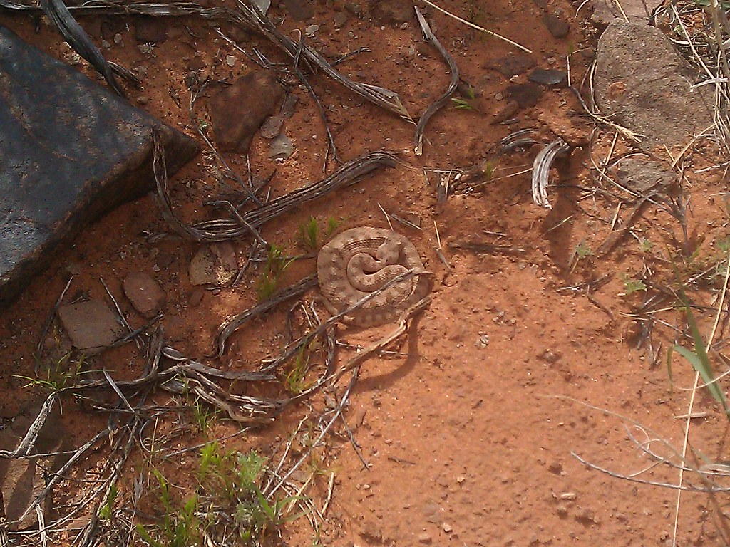
Ran across this little guy, it was a little too cold for him to be upset.
Traversed the precious water source.
Climbed this steep incline in cycling shoes unfit for the job. I left my bike by the one lighter green tree you see on the right hand side, thinking to myself "now everybody remember where we parked."
And ran straight into this; the Redman.
He is about 5 ft tall and hidden under an overhang that has protected the red ochre color for who knows how many years.
One of the most superlative mornings I have had on a bike in quite a while.